- Solutions against floods in the city and upstream
- Expert tools to prevent and control risks
- Proven field experience
Form is loading.
If the form does not load after a few seconds, please reload the page (CTRL + F5 or (or Cmd + Shift + R on Mac).
Act upstream and downstream to limit flood risk
Intense rainfall can cause flooding, either by river overflow, groundwater rising to the surface, run-off of large volumes of water and/or mudslides. In coastal areas, there is also the risk of marine submersion during storms or high tides. Floods occur at the catchment area scale, from upstream to downstream and finally to the sea.
In urban areas, heavy rainfall tests drainage and stormwater management systems: stormwater networks, combined sewers, treatment plants, storage and retention basins, or discharges to the natural environment.

Anticipate and prevent floods
To best manage intense rainfall, it is crucial to be well-prepared and alerted in advance. For this, we support you and provide specific solutions.
Protect human activities and infrastructure from floods
Prevention solutions can be costly. That is why we are committed to offering you different solutions and defining with you the optimal action plan.
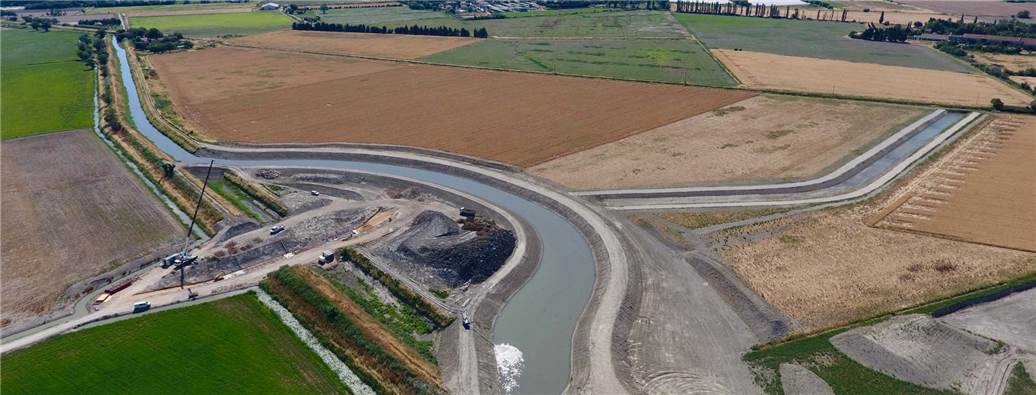
At the catchment area scale, this may involve:
- Relocating buildings or activities in areas highly exposed to risk
- Developing flood expansion areas upstream of sensitive zones
- Building new structures to protect against floods: dams, dykes, temporary protections and barriers (valves, cofferdams), etc.
- Protecting human activities by preserving ecosystems through differentiated ecological management, land restoration and other nature-based solutions
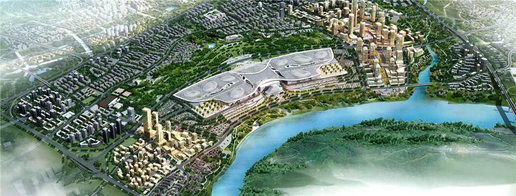
At the city scale, this may involve:
- Mapping existing structures and networks to improve their efficient management (via a reliable and updated Geographic Information System)
- Analysing the condition and operation of networks, with our proven and effective methodologies (such as our rapid DIAGRAP® diagnosis), with innovative network inspection solutions (such as the family of SewerBall® products) or targeted classic inspections (such as CCTV inspections)
- Maintaining network capacities to avoid overflows with our innovative solutions (such as connected gullies) or optimised maintenance actions (such as cleaning, macro-waste management, etc.)
- Keeping sensitive equipment safe in water treatment plants (identified with our digital twin solutions)
Manage crises and accelerate return to normal
When we are responsible for the stormwater management (like in concessions or O&M contracts), our field teams take emergency measures to:
- Protect human lives (populations and staff)
- Manage the flood in rural areas (thanks to dams, flood expansion areas, etc.) rather than enduring it in urban areas, with a risk of important damages on habitats and high impact on local communities
- Execute crisis management plans as predefined and by mobilising emergency resources as soon as necessary
- Restore critical installations quickly
- Formalise and share feedback from past crises and adjust action plans in a continuous improvement approach, to prevent, limit, or even avoid the next crisis
Protect aquatic environments from pollution in case of spills
To limit discharges, it is necessary to monitor natural environments at all levels of the catchment area. This involves:
- Restoring aquatic environments: restoring wetlands and watercourses which contribute to slowing the water flows
- Reducing inflows and infiltration in sewage and/or stormwater networks through permanent diagnostics to optimise the volume of water that can be managed by the networks and after, by the wastewater treatment plant
- Better collecting, storing and treating stormwater, through good management of networks, storage assets and treatment plants
- Avoiding discharges thanks to static storage and dynamic network management, with our Aquadvanced Urban Drainage solution, which allows real-time control of sewage networks and forecast modelling to reduce the risk of overflows and spills
They trust us
Real-time management of the stormwater and wastewater network in Saint-Etienne (France)
Saint-Étienne is crossed by many watercourses (streams and rivers). In case of storms, the level of the Furan river can rise by one metre within a few minutes. The city has therefore set up a system to limit pollution discharges and urban flooding in case of heavy rain.
With Aquadvanced Urban Drainage, the management of the urban network has been modernised and digitalised. The system relies on real-time meteorological data coupled with information from sensors installed on the sewage network. It models the impacts of heavy rainfall and allows operating teams to adapt their actions in advance and in real-time.
The performance of the system was demonstrated in June 2015, during a very intense rainfall event: 25 mm of water fell on Saint-Étienne in less than one hour. Thanks to the system, the event was anticipated, the maximum amount of rainwater was sent to the treatment plant to relieve a stormwater collector. A district thus escaped the flooding it usually suffered.

Frequently asked questions
A flood is the temporary covering of land that is normally dry by water, which can occur rapidly or gradually. Flood risk refers to the combination of a flood hazard (the event itself) and the presence of assets or interests—such as people, property, infrastructure, and the environment—that may be harmed if inundation occurs.
Floods can occur in different ways depending on the source and speed of water accumulation. The main types include:
- River flooding
This happens when rivers overflow their banks due to prolonged rainfall, snowmelt, or upstream water release. It often affects large areas and can last for days or weeks. - Coastal flooding
Caused by storm surges, high tides, or tsunamis, coastal flooding occurs when seawater inundates low-lying coastal land. It is often linked to severe storms and hurricanes. - Flash flooding
A sudden and intense flood, usually triggered by heavy rainfall over a short period or dam failure. Flash floods are extremely dangerous because they develop quickly and with little warning. - Urban flooding
Occurs in cities when drainage systems cannot cope with heavy rainfall, leading to water accumulation on streets and built-up areas. It can disrupt transport and damage infrastructure. - Groundwater flooding
Happens when the water table rises above ground level, often after prolonged wet weather. It tends to develop slowly but can persist for weeks or months.
While it is not possible to predict exactly when and where a flood will occur, advanced monitoring and forecasting systems can estimate flood risks based on rainfall, river levels, soil saturation, and weather patterns. These tools allow authorities and property owners to receive early warnings, take preventive action and mobilise on-field teams in case of an urgent matter. We have developed expert digital solutions which aim to forecast, alert and monitor the stormwater system in real-time and remotely:
- Aquadvanced® Urban Drainage is our solution dedicated to networks which comes with three levels of control assistance to suit every need:
- Hypervision that provides a continuous, real-time global view of the wastewater network. This gives the operator a detailed, real-time view of how it is working.
- Anticipation: helps you make informed decisions by anticipating short- and medium-term meteorological events, thanks to a detailed forecast of future rainfall (using weather radar and rainfall monitoring), and hydraulic modelling that enables you to anticipate the hydraulic behaviour of the network up to 3 days in the future. When the modelled water level in the future exceeds predefined thresholds, a warning system is activated.
- Dynamic Management: This management aid anticipates meteorological events and models their effects on the network and future discharges. By enabling assisted control of the drainage network, the tool ensures rapid reaction to emergency situations. Aquadvanced Urban Drainage calculates and controls an ideal compromise between limiting spillage, avoiding backflow and, if necessary, reducing flooding, by making optimum use of the network's existing storage capacities and the flows sent to the plant. The strategy is recalculated every 5 minutes.
- Rivage ProTech is a specific tool to evaluate coastal submersion risk. The tool is based on digital models running in real time 24/7 that deliver highly accurate forecasts of the risk of coastal flooding at the local level. The models are fed by real-time observation (video systems, sensors and measurements on beaches, etc.). The forecasts are analysed by agents who deliver the most detailed results possible to the local authority responsible for protecting property and people and organising rescue operations when a storm approaches.


